- Sold!
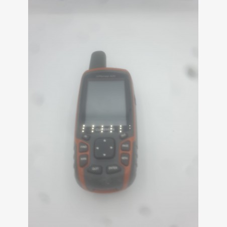


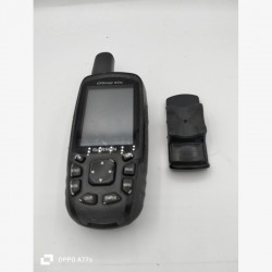
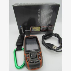
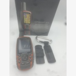
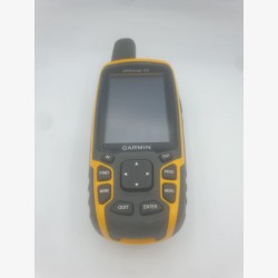
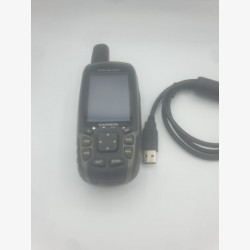
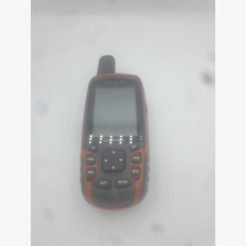
GPSMAP 62s in very good condition, with slight scratches on the casing. This device is perfect for hiking and other outdoor activities. Equipped with a pre-installed topographic map of France 2024 and maps of several other countries included: Italy, Spain, Maghreb, etc...
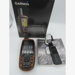
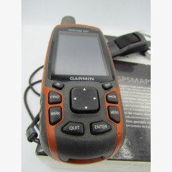
The portable PS GPSMAP 62s (st) has a 3-axis electronic compass working in all positions, a barometric altimeter and is compatible with BirdsEye™ satellite imagery (subscription required), Garmin Custom Maps™ functionality and photo navigation . Robust and waterproof, the GPSMAP 62s has a Quad Helix antenna for incomparable reception, a USB connection, a new elegant design case and can be connected wirelessly to other compatible Garmin products.
- 2.6” anti-glare color screen, 65,000 colors,
- High sensitivity Quad Helix GPS antenna for incomparable reception,
- ANT+ technology allowing data exchange between GPS,
- Compatible with the entire Garmin cartographic offering and free OSM maps,
- Geocaching function (treasure hunt),
- Itinerary preparation using BaseCamp™ planning software,
- Weight 260 gr with batteries,
-Autonomy 20 hours,
- Memory/History 1.7 GB,
- Waterproof IPX 7 (floats, depth one meter for 30 minutes)
- Textual road navigation function,
- Storage: micro SD, 2000 POIs, 200 recorded tracks, 200 routes,
- Area calculation, Fishing calendar.
GPSMAP 62s in very good condition, with slight scratches on the casing. This device is perfect for hiking and other outdoor activities. Equipped with a pre-installed topographic map of France 2024 and maps of several other countries included: Italy, Spain, Maghreb, etc...