Dakota
Subcategories
-
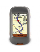
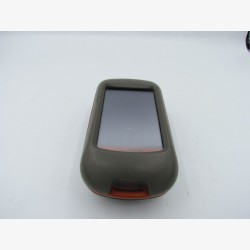
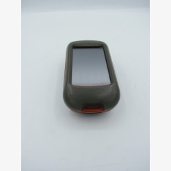
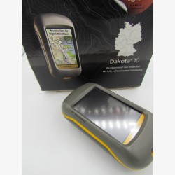
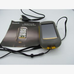
Dakota 10
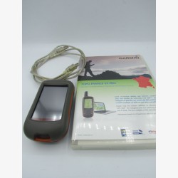
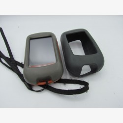
Dakota 10 the combination of navigation for outdoor activities and the user-friendliness of a touch screen. Robust, this outdoor GPS fits in the palm of your hand. Touch screen, ultra-sensitive GPS antenna with HotFix function (ultra-fast satellite signal acquisition) and world map background are combined in this powerful and affordable device.
- 2.6" color touch screen
- Geocaching function (treasure hunt)
- Compatible with Garmin road and hiking maps
- Preparation of routes on the BaseCamp planning software.
See other Dakota models.
-
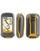
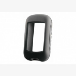
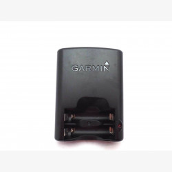
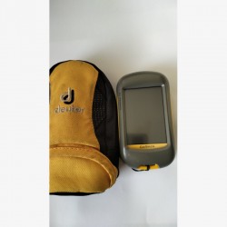
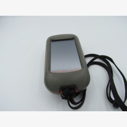
Dakota 20
It is the ideal tool that will help you orient yourself in any environment and any environment.
- For hikers on foot or by bike, fishermen, Surveyor, ..
- Compatible with Garmin Connect, MyFitnessPal and Strava,
- Calculate the surface of a delimited area (Agriculture, Topography, Surveyor, ..),
- Calendar, calculator and stopwatch,
- “Treasure hunt” function for amateurs, see opencaching.fr,
- World Base Mapping, MicroSD Reader,
- Compatible with topographic, road and marine maps,
- 6.6 cm color touch screen, usable with gloves,
- Ultra-sensitive GPS receiver, WAAS compatible and equipped with the HotFix function,
- Compass and altimeter function (GPS+barometric+3-axis compass),
- Bluetooth, USB, ANT+,
- IPX7 waterproofing (30mn in depth of 1m)
- Battery life 15 hours,
- Functions: Cardio, distance, route, speed,
- Different ways to import courses and export them,
- Weight about 200 grams,
- Accuracy between 3 and 5m.
See other Dakota models.


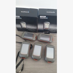
14 Last sold products in : Dakota
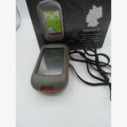


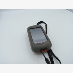
Dakota
Outdoor navigation meets touchscreen simplicity in the Dakota. This rugged palm-sized navigator combines touchscreen navigation, barometric altimeter, 3-axis electronic compass.
Find other hiking GPS families here.