- Sold!


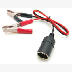
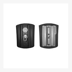
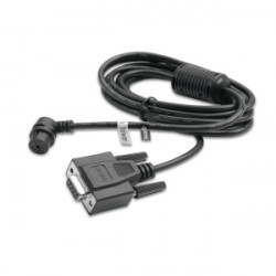
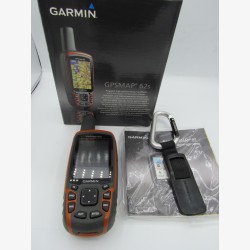
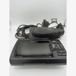
GPSMAP 525S in provided with a probe, the power cable and a protective cover.
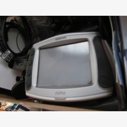
The Garmin GPSMAP 525S is a high-end Marine-Saveur GPS combine, designed for demanding browsers. It is equipped with a 5 -inch TFT color screen (234 x 320 pixel resolution), bright and perfectly readable in full sun as in darkness. Its intuitive interface allows fluid navigation between GPS functions and sounder. The integrated GPS, high sensitivity, ensures a rapid and precise acquisition of the position, even in difficult maritime conditions. The "S" version of the model incorporates a double frequency sounder (50/200 kHz), capable of detecting the depth and structure of the seabed, with an output power up to 500 W (RMS). It is compatible with BlueChart® G2 Vision ™ cards (via SD card), offering detailed information on the ribs, ports, tidal areas, currents and restricted navigation areas. He also has advanced functions such as 3D view, self -guidance and superposition of satellite images. Compact and robust, the GPSMAP 525S is designed to withstand marine environments thanks to its waterproof case (IPX7 standard). Ideal for pleasure boats, coastal fishing or sea outings.

GPSMAP 525S in provided with a probe, the power cable and a protective cover.