- New
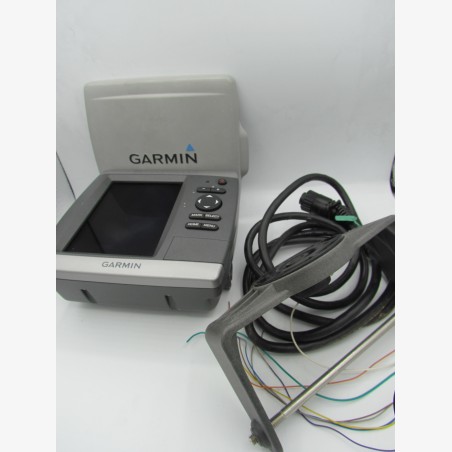


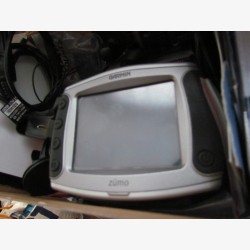
Selling marine GPS chart plotter Garmin GPSMAP 525 in good general condition, showing very few traces of use.
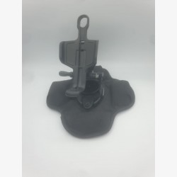
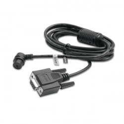
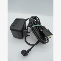
Included: Preloaded/supplied marine chart, original rigid screen cover, adjustable mounting bracket and power/data cable.
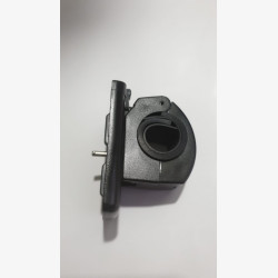
Important note: There is a small piece of plastic missing from the power jack on the back. This does not hinder the connection or operation of the device, but the cable can no longer be locked by screwing (see detailed photos).
Ideal for equipping a motor boat, a sailboat or as a backup GPS/second station.
Fast shipping and very careful packaging.
The Garmin GPSMAP 525 is a compact and efficient marine chart plotter, renowned for the high definition of its VGA screen and its versatility on motorboats and sailboats.
Screen & Display:
5-inch (12.7 cm diagonal) ultra-bright color display
High VGA resolution: 640 x 480 pixels for clear reading of details
Anti-reflective treatment, perfectly readable in direct sunlight
GPS & Navigation:
Integrated high sensitivity GPS antenna (option for external BNC antenna)
Memory capacity: 1,500 waypoints, 20 routes and a tracking log of 10,000 points
SD card slot (compatible with BlueChart g2 Vision marine cartography)
Support for 3D functions (MarinerEye / FishEye) and tide / current maps
Connectivity & Network:
NMEA 2000 compatibility (for displaying engine data, fuel gauge, etc.)
Inputs / Outputs NMEA 0183
Physical & Electrical specifications:
Dimensions: 15.0 x 16.3 x 7.4 cm
Waterproofing: IPX7 standard (resistant to water splashes and temporary immersion)
Power supply: 10V to 35V DC
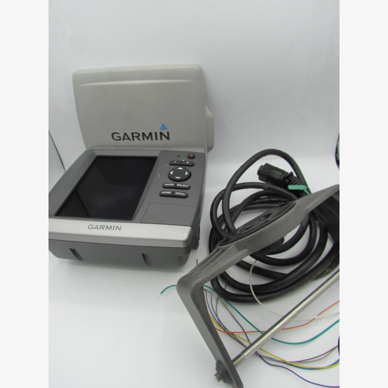
Selling marine GPS chart plotter Garmin GPSMAP 525 in good general condition, showing very few traces of use.
Included: Preloaded/supplied marine chart, original rigid screen cover, adjustable mounting bracket and power/data cable.
Important note: There is a small piece of plastic missing from the power jack on the back. This does not hinder the connection or operation of the device, but the cable can no longer be locked by screwing (see detailed photos).
Ideal for equipping a motor boat, a sailboat or as a backup GPS/second station.
Fast shipping and very careful packaging.