- Sold!


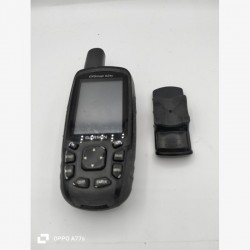
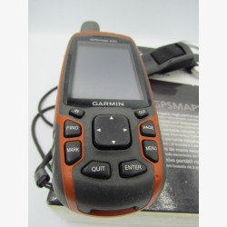
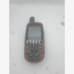
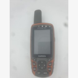
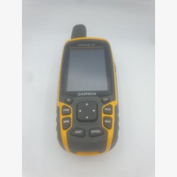
Seize this classic of outdoor navigation: the Garmin GPSMAP 62s in very good condition, showing very rare traces of wear. Renowned for its reliability in the field, this button-operated GPS is perfect for hiking, geocaching and boating.
Thanks to its Quad Helix antenna, it picks up the signal quickly, even in dense forests. Its 2.6" color screen remains perfectly readable in all conditions.
🌍 Benefits: 3-axis electronic compass, barometric altimeter and wireless data sharing.
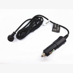
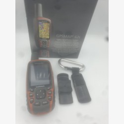
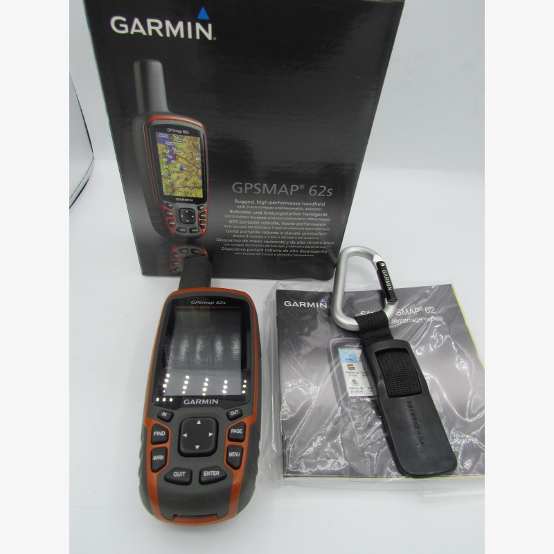
📦 Contents of the pack:
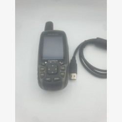
GPS Garmin GPSMAP 62s
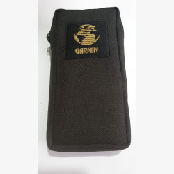
Original box
Official Garmin carabiner clip
Quick Start User Manual
A robust and complete device, ready to use!
The GPSMAP 62s (st) portable PS has a 3-axis electronic compass working in all positions, a barometric altimeter and is compatible with BirdsEye™ satellite imagery (subscription required), Garmin Custom Maps™ functionality and photo navigation. Robust and waterproof, the GPSMAP 62s has a Quad Helix antenna for incomparable reception, a USB connection, a new elegant design case and can be connected wirelessly to other compatible Garmin products.
- 2.6” anti-glare color screen, 65,000 colors,
- High sensitivity Quad Helix GPS antenna for incomparable reception,
- ANT+ technology allowing data exchange between GPS,
- Compatible with the entire Garmin cartographic offering and free OSM maps,
- Geocaching function (treasure hunt),
- Itinerary preparation using BaseCamp™ planning software,
- Weight 260 gr with batteries,
-Autonomy 20 hours,
- Memory/History 1.7 GB,
- Waterproof IPX 7 (floats, depth one meter for 30 minutes)
- Textual road navigation function,
- Storage: micro SD, 2000 POIs, 200 recorded tracks, 200 routes,
- Area calculation, Fishing calendar.
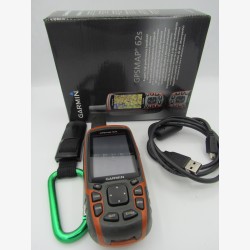
Seize this classic of outdoor navigation: the Garmin GPSMAP 62s in very good condition, showing very rare traces of wear. Renowned for its reliability in the field, this button-operated GPS is perfect for hiking, geocaching and boating.
Thanks to its Quad Helix antenna, it picks up the signal quickly, even in dense forests. Its 2.6" color screen remains perfectly readable in all conditions.
🌍 Benefits: 3-axis electronic compass, barometric altimeter and wireless data sharing.
📦 Contents of the pack:
GPS Garmin GPSMAP 62s
Original box
Official Garmin carabiner clip
Quick Start User Manual
A robust and complete device, ready to use!