- Sold!


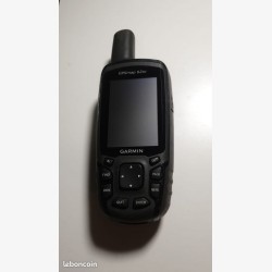
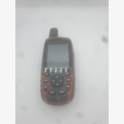
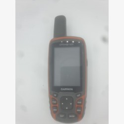
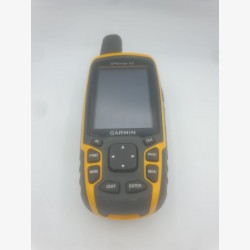
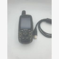
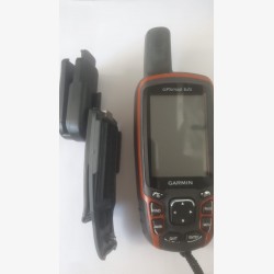
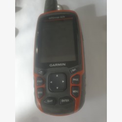
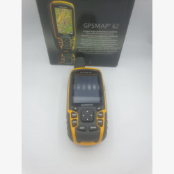
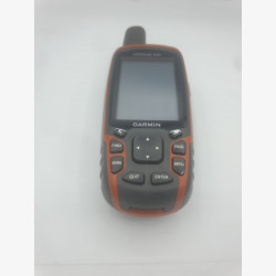
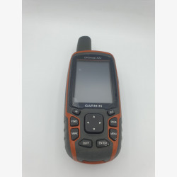
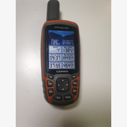
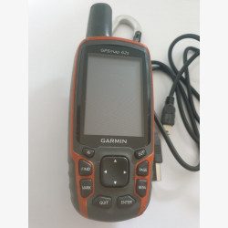
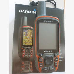
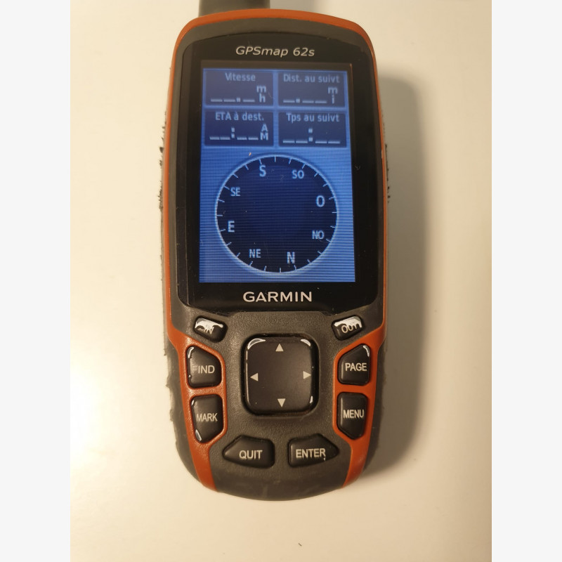
GPSMAP 62s Garmin Marine handheld in average condition, there are some signs of wear on the casing and the buttons (see photos), The GPS is waterproof and works perfectly.
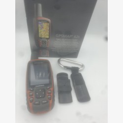
The GPSMAP 62s (st) portable PS has an all-position 3-axis electronic compass, barometric altimeter and is compatible with BirdsEye™ satellite imagery (subscription required), Garmin Custom Maps™ functionality and photo navigation . Rugged and waterproof, the GPSMAP 62s has a Quad Helix antenna for unparalleled reception, USB connection, a sleek new design and can be connected wirelessly to other compatible Garmin products.
- 2.6'' anti-glare color screen, 65,000 colors,
- High sensitivity Quad Helix GPS antenna for unrivaled reception,
- ANT+ technology allowing the exchange of data between GPS,
- Compatible with the entire Garmin cartographic offer and free OSM maps,
- Geocaching function (treasure hunt),
- Preparing routes on BaseCamp™ planning software,
- Weight 260 gr with batteries,
- Battery life 20 hours,
- Memory/History 1.7 GB,
- Waterproof IPX 7 (floats, depth one meter for 30 minutes)
- Textual route navigation function,
- Storage: micro SD, 2000 POIs, 200 saved tracks, 200 routes,
- Area Calculation, Fishing Calendar.
GPSMAP 62s Garmin Marine handheld in average condition, there are some signs of wear on the casing and the buttons (see photos), The GPS is waterproof and works perfectly.